
Picarta AI
AI photo geolocation tool that estimates where a picture was taken from its visual content alone.
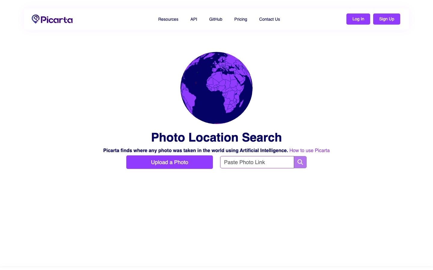
Picarta AI is a photo geolocation tool that estimates where an image was taken. Picarta AI reads visual clues such as architecture, landscape and signage, then returns GPS coordinates, city and country with confidence scores. It is used by uploading a photo or pasting an image link and reviewing the predicted locations on a map.
Best for Investigators, journalists and researchers who need to check or discover the location of an image that carries no usable metadata.
- Listed in
- Image Recognition & OCR
- Platforms
- Web, API
- Pricing model
- Freemium
- Free plan
- Yes
- API
- Yes
- Made by
- Picarta S.r.l.
- Added
Last verified: . Information taken from picarta.ai.
What is Picarta AI?
Picarta AI is an image geolocation service that predicts where in the world a photo was taken. A user uploads a picture or pastes a link to one, and the model studies visual clues such as buildings, terrain, plants and signs to return likely GPS coordinates, a city and a country, each prediction accompanied by a confidence score and shown on a map. Because the estimate comes from what is visible, it does not depend on EXIF data and can be applied to screenshots or edited images. Searches can cover the whole world, one selected country or a specific area. The pricing page describes a free plan, a one-time search wallet, a subscription and an Enterprise tier with API access and on-premise deployment. Picarta S.r.l. operates the service.
Key Features
Location Prediction
Returns estimated latitude and longitude plus city and country for an uploaded photo or an image link.
Confidence Scores
Attaches a confidence value to every candidate location so the top predictions can be compared.
No Metadata Needed
Works from the picture itself, so images with stripped EXIF or GPS tags can still be analysed.
Search Scope
Lets you search worldwide, limit the search to one country chosen on a map, or focus on a particular area.
Map Output
Displays predicted places on a map with a link to open the spot in Google Maps.
Enterprise API
Provides programmatic access with Python, JavaScript and curl examples, reserved for Enterprise accounts.
How Picarta AI works
Provide an image
Upload a photo or paste a link to one.
Choose the search scope
Search worldwide, inside one country, or around a specific area.
Review the predictions
Read the suggested coordinates and confidence scores and open them on the map.
Screenshots
Use Cases
- Verifying News Images
- Check whether a photo circulating online matches the place it is claimed to show.
- Open-Source Investigations
- Narrow down the location of an image as one step in an OSINT workflow.
- Identifying Old Travel Photos
- Find out where an undated holiday picture without location data was taken.
- Country-Specific Searches
- Restrict the model to a single country when the general region is already known.
- Geolocation in Custom Software
- Call the API from an internal tool under an Enterprise agreement.
Things to know
- Results are estimates
- The site describes the output as predicted coordinates with confidence scores and advises checking the top candidates.
- Full details need a paid account
- The interface prompts free users to upgrade in order to see the complete result details.
- API is Enterprise-only
- Programmatic access is granted to Enterprise accounts after contacting the company with a use case.
FAQs
What is Picarta AI?
Picarta AI is a service that uses artificial intelligence to estimate where a photo was taken, returning GPS coordinates, city and country.
How does Picarta AI work?
Picarta AI analyses visual features of an image, such as signage, vegetation, terrain and building styles, and predicts the most likely locations with a confidence score for each.
Does Picarta AI need EXIF or GPS data?
No. Picarta AI predicts the location from the visual content only, so it also works on screenshots and on images whose metadata has been removed.
Is Picarta AI free?
Picarta AI has a free plan that includes one search. More searches are available through a one-time wallet or a subscription; see the official pricing page for current rates.
Does Picarta AI have an API?
Yes. Picarta AI offers an API, but the pricing page states that it is available to Enterprise accounts only and must be requested by email.
How accurate is Picarta AI?
Picarta AI says accuracy depends on how distinctive the geographic features in the image are, and it recommends reviewing the top predictions rather than relying on a single result.
Who uses Picarta AI?
According to the site, Picarta AI is used by journalists, OSINT investigators, researchers, law enforcement, travelers and photographers.
Who it's for
- OSINT investigators
- Journalists
- Law enforcement
- Researchers
- Photographers
- Travelers
Comments
No comments yet. If you have used Picarta AI, tell other readers how it went.
Alternatives to Picarta AI
| Tool | Free plan | Starting price | API |
|---|---|---|---|
 Face Search AIReverse face search engine that finds where a face appears on public web pages from one uploaded photo. |
Yes | — | Yes |
 Image to Text ConverterOnline OCR tool that pulls editable text out of photos, screenshots, handwriting and PDFs, with batch conversion. |
Yes | — | Yes |
 Lenso.aiAI reverse image search that finds duplicates, places, similar pictures and matching faces online. |
Yes | — | Yes |
 ParseurAI document parsing software that extracts structured data from PDFs, emails, scans and images and sends it to other apps. |
Yes | — | Yes |
 CVATData annotation platform for labelling images, video, 3D point clouds and audio, offered as cloud, self-hosted and open source. |
Yes | — | Yes |
Listed in the same category as Picarta AI. A starting price appears only where we checked it on the maker’s pricing page; a dash means not checked or not published. All Image Recognition & OCR tools