Prompt studio
Make “Cologne Cathedral Drone Flight at Golden Hour” yours
A low, fast aerial run over the Rhine ends in a tight orbit around Cologne Cathedral's twin spires, then pulls back to a sunset panorama of the river and skyline. The camera does the storytelling: skim, climb, circle, reveal.
 Prompt by @Diplomeme
- Fill in the blanks below.
- Watch the prompt update on the right.
- Copy it, or open it in an image tool.
Video prompt
Create a cinematic realistic high-speed drone video over Cologne, Germany at golden hour, using the reference image as the exact location and flight-path guide. The drone starts very low above the Rhine River surface, almost skimming the water, facing Cologne Cathedral. It accelerates quickly forward over the rippling river, following the drawn path from the foreground water toward the cathedral while maintaining a very low altitude. The drone then performs a dramatic climbing curve as Cologne Cathedral fills the frame, executes a close cinematic orbit around the cathedral's twin spires, and after the orbit, pulls back while gaining altitude before tilting and opening toward the Rhine River, Cologne skyline, Hohenzollern Bridge, historic rooftops, sunset reflections, river traffic, and glowing Cologne atmosphere. The red drawn line must not appear in the video; it is only a hidden flight-path reference. Add powerful emotional cinematic music: deep cello melody, dramatic percussion rhythm, orchestral strings, subtle choir texture, epic rising percussion, and a grand heroic crescendo as the drone completes its orbit around Cologne Cathedral and reaches the final panoramic reveal. No text, no subtitles, no logos, no graphic overlays.
Image prompt
Create a cinematic drone flight-path planning reference image based on the uploaded location photograph. The image is not the final video frame; it is a professional pre-visualization storyboard used to design an FPV drone route. Preserve the original location, perspective, landmarks, lighting, and composition exactly as shown in the reference image. Overlay a single clean, highly visible flight path that clearly guides the drone's movement through the scene. The path should be designed by a professional FPV cinematographer for maximum cinematic impact and viral visual storytelling. Flight path design principles: • Begin at the strongest foreground element. • Stay low initially to create speed and immersion. • Accelerate toward the main landmark. • Introduce smooth cinematic curves rather than straight lines. • Include one dramatic elevation gain. • Include one hero orbit around the main subject. • Finish with a large-scale reveal position overlooking the entire scene. • Path must communicate motion, rhythm, pacing, and camera intention. • Use a continuous flowing trajectory that feels physically flyable. Visual treatment: • Bright red cinematic route line. • Direction arrows showing movement. • Numbered waypoints (1, 2, 3, 4, 5, etc.). • Small FPV drone icon at starting position. • Orbit section clearly indicated. • Final reveal position highlighted with a larger marker. • Clean professional storyboard aesthetic. • Architecture and environment remain fully visible beneath overlays. Purpose: Generate a dedicated flight-path planning image that an AI video model can later use as a hidden navigation reference for creating a realistic high-speed cinematic drone sequence. Ultra-detailed previsualization, drone cinematography blueprint, aerial route design, professional FPV planning sheet, cinematic storyboard quality, highly readable path overlay.
Prompt shared on X by @Diplomeme. All credit goes to its creator.
More prompts you can customize
 Night Football Crowd Sports Broadcast Still
 Add your photoHovercraft Race Broadcast Video
 First-Person Broom Chase Video
 Renaissance Fighting Game Battle Video
 Equirectangular 360 Panorama Scene Viewer
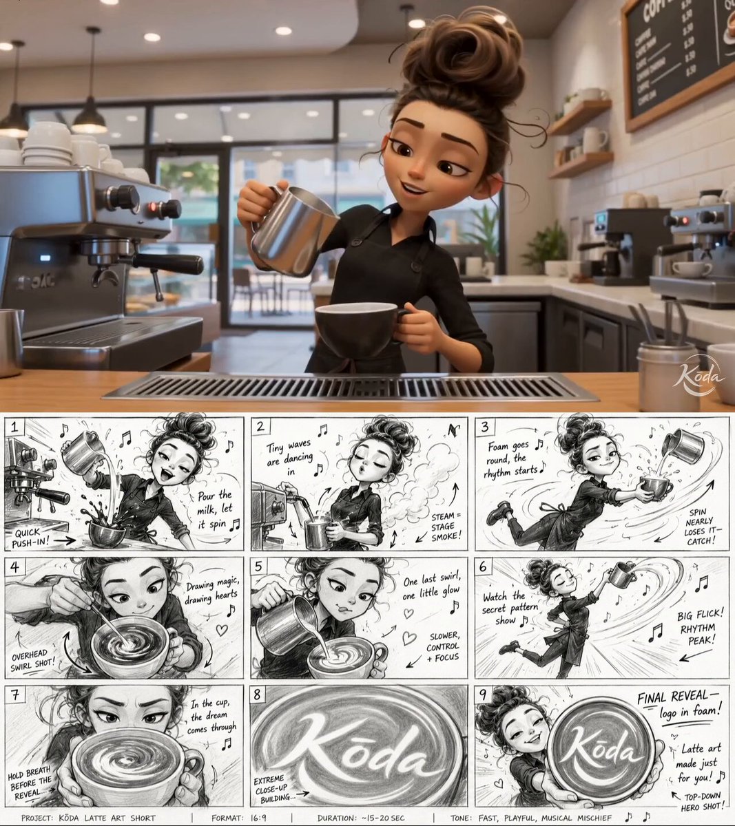 Latte Art Musical Video With Storyboard Shots
 Kimchi Jar Ad Video With Dynamic Motion
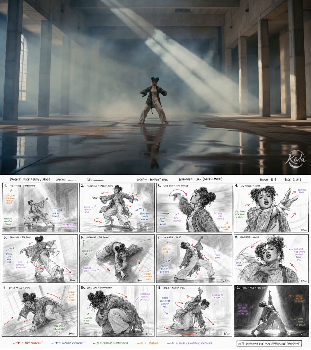 Add your photoBrutalist Hall Contemporary Dance Video Sequence