Afbeeldingsprompt Scènes & ruimtes Aanpasbaar
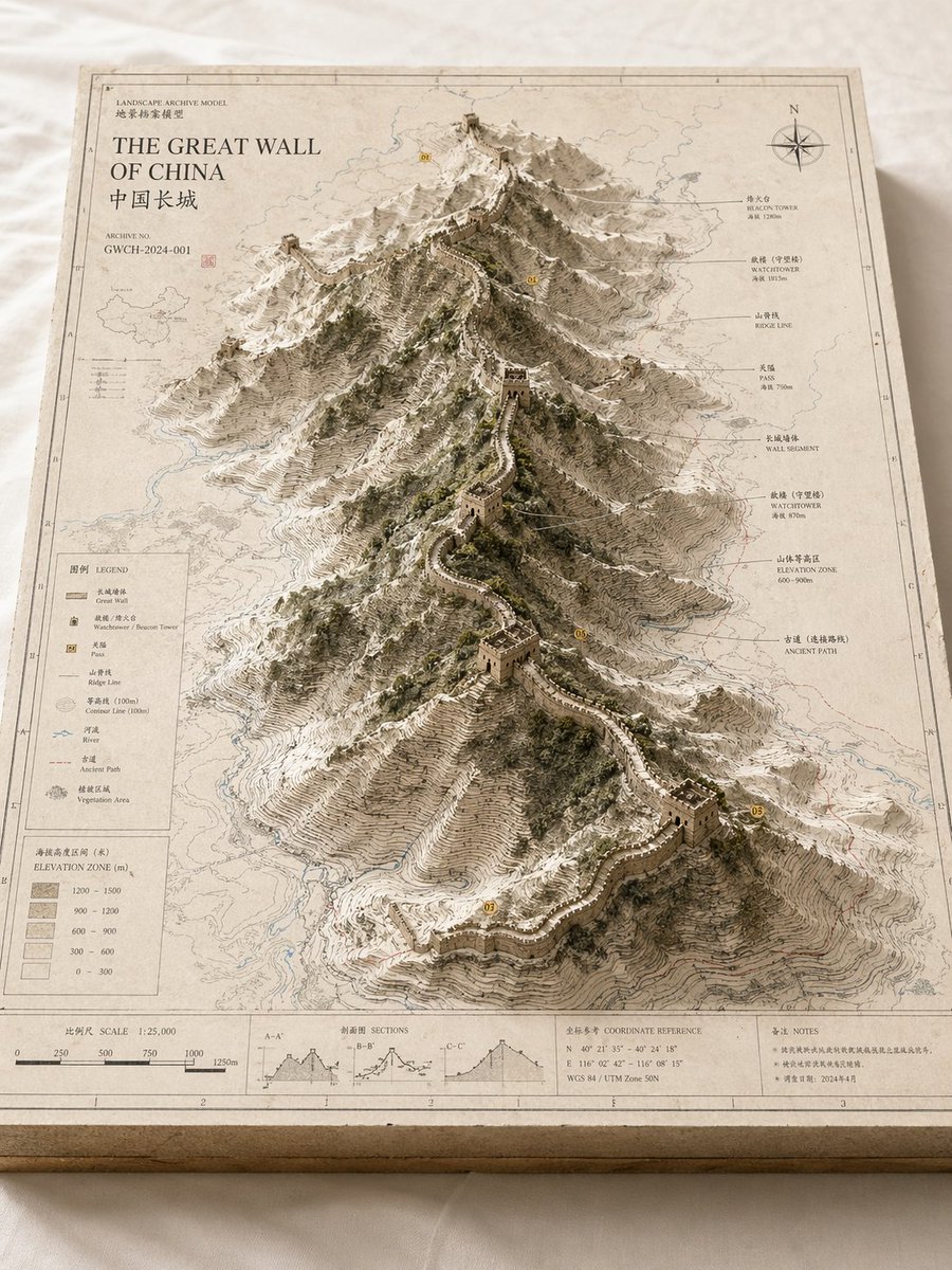
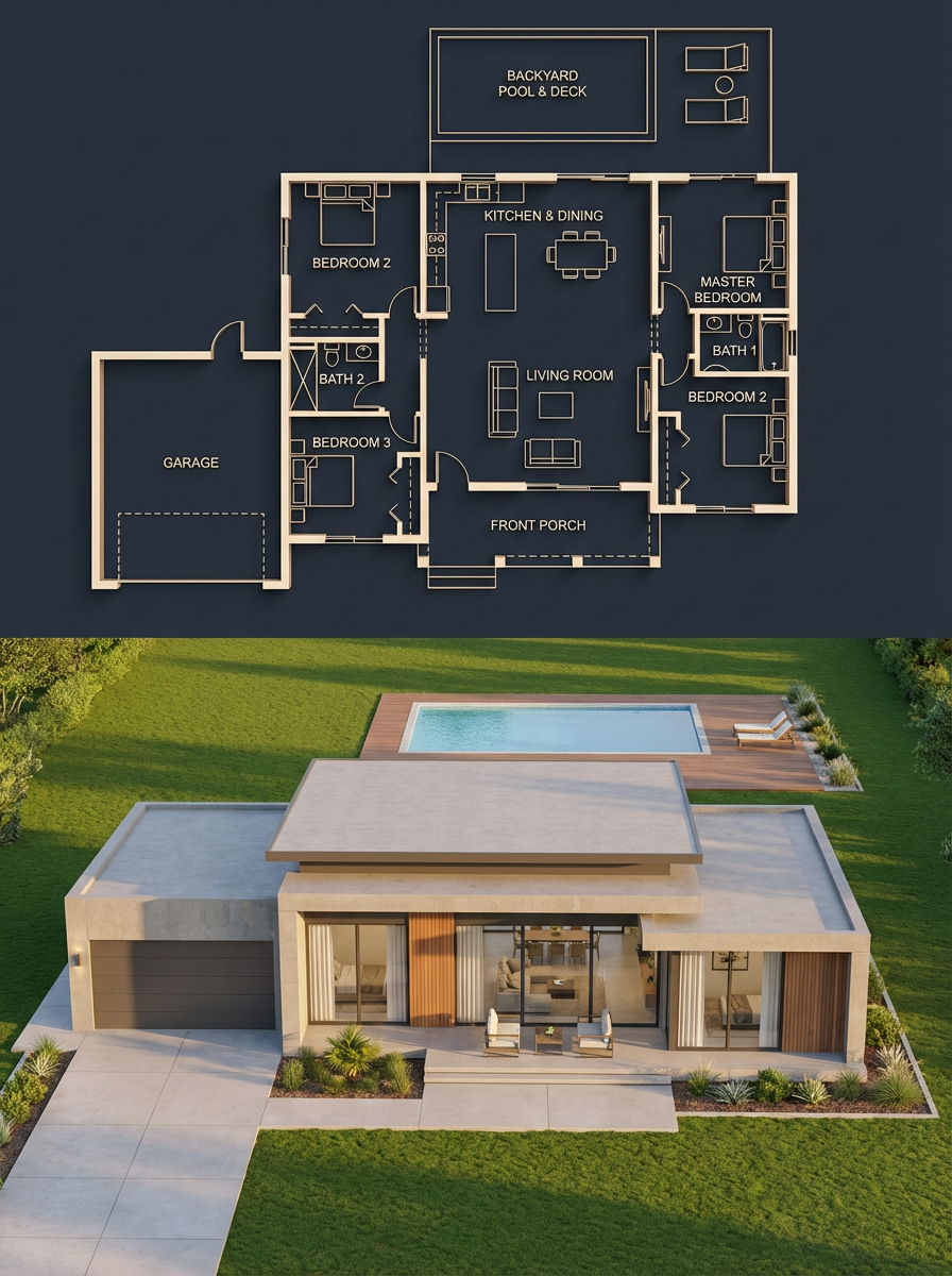
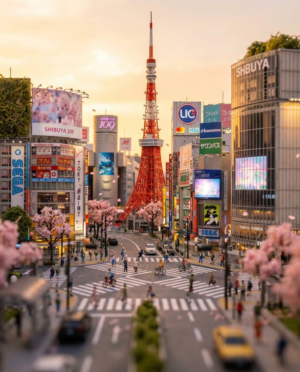
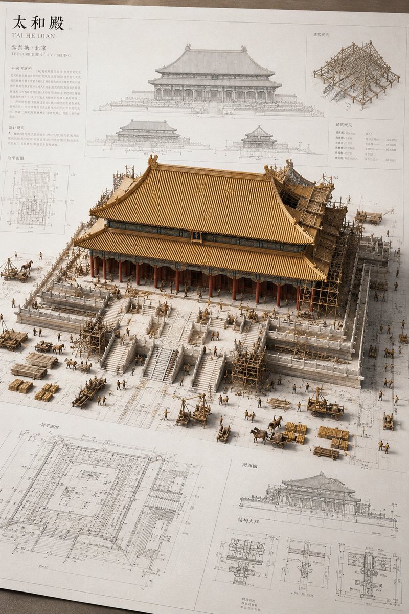
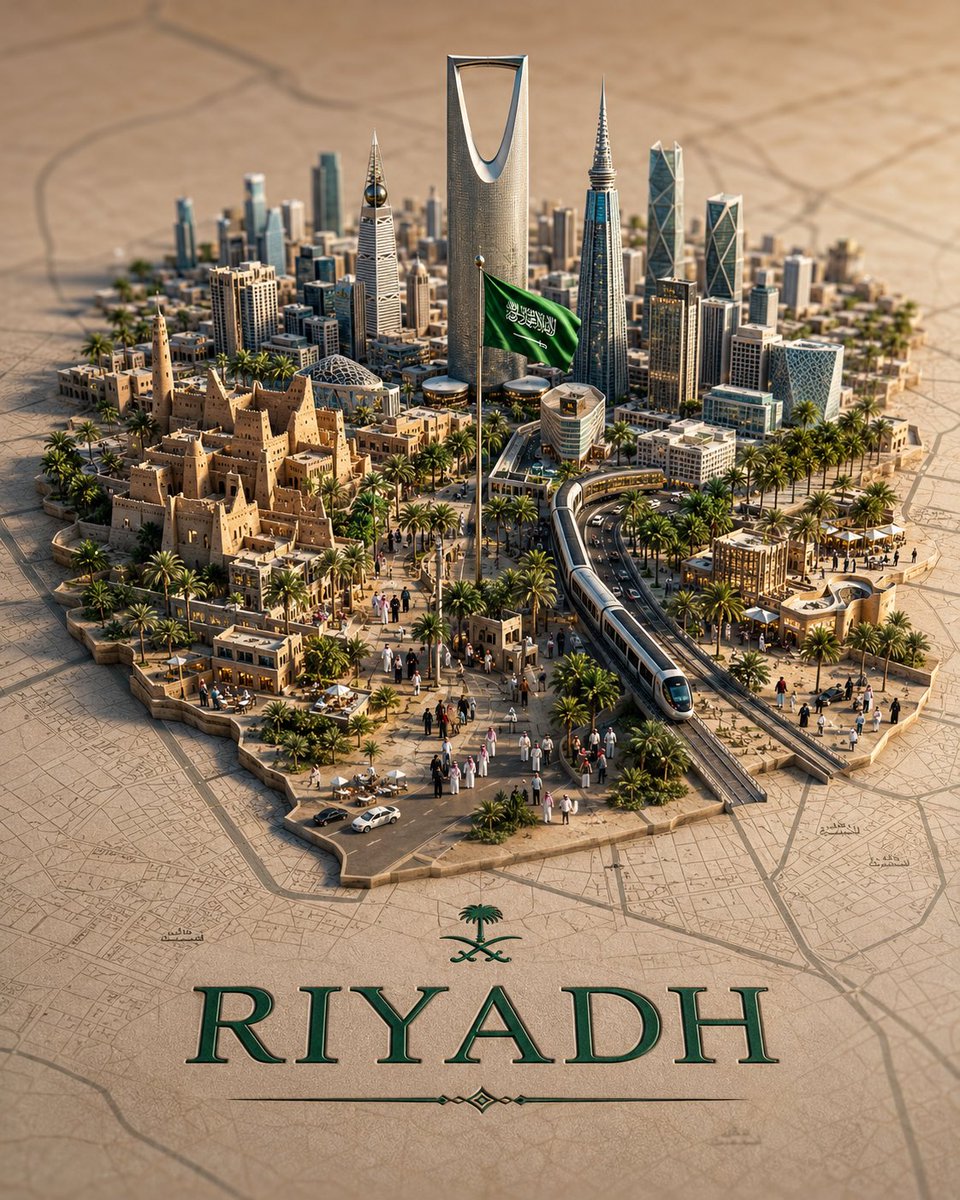
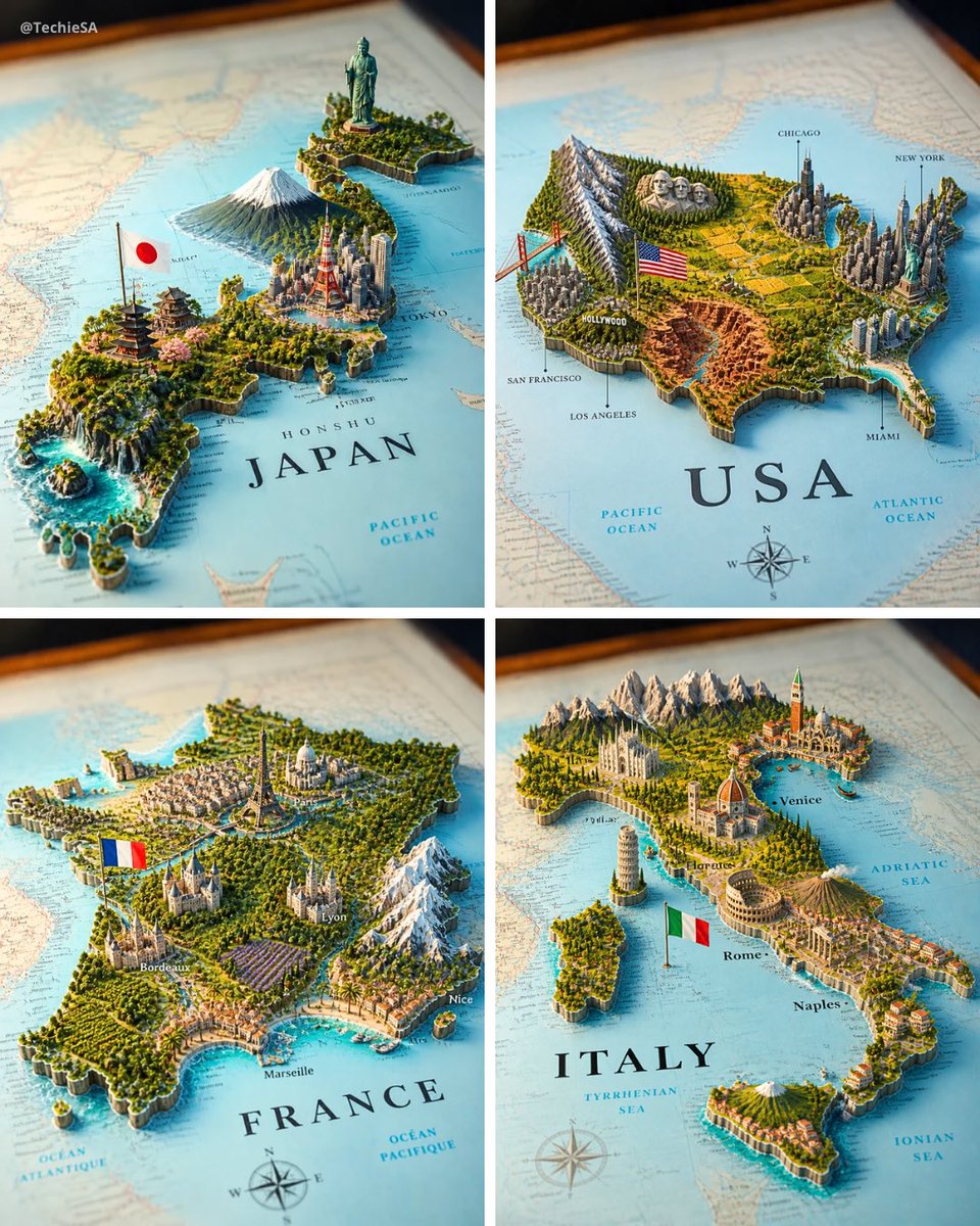
3D-landkaartdiorama van een land met bezienswaardigheden die uit het papier oprijzen
Een geprinte papieren landkaart van een land laat een miniatuur 3D-wereld ontspruiten van bezienswaardigheden, skyline en terrein, waarbij elk element in zijn echte regio staat. Het resultaat leest als een museumwaardige kaart die tot leven is gekomen.

- Model
- GPT Image 2
- Type
- Afbeelding
- Beeldverhouding
- 4:5
- Gedeeld
- 24 mei 2026
- Likes op X
- 250
Afbeeldingsprompt
1,284 tekensA realistic map of the [COUNTRY] territory lying on a surface, with the country name [COUNTRY] clearly visible in bold elegant serif lettering on it. From the map emerges a highly detailed 3D miniature diorama representing [COUNTRY], with geographically coherent elements: the most famous natural landscape of [COUNTRY] placed in its correct region, the most iconic national monument or statue rising in its real-world location, the largest and most recognizable modern city skyline accurately positioned, a culturally traditional architectural region represented authentically, and a major dramatic geographic feature such as mountains, rainforest, desert, coastline, canyon, waterfall, or reef — all placed in their geographically accurate locations within [COUNTRY]. A small [COUNTRY] national flag on a thin flagpole planted naturally beside the capital city. The flat map surface around the 3D elements includes faintly printed city names, region labels, dotted travel routes, a compass rose in one corner, and subtle topographic contour lines — realistic cartographic details without overcrowding. Each feature grows organically from the paper map, creating a harmonious blend of nature, culture, and architecture. Soft studio lighting, cinematic composition. Square 4:5 format.
Zo gebruik je hem
Begin door [COUNTRY] te vervangen door het land dat je wilt, en kies een land waarvan je de bezienswaardigheden goed kent, zodat je kunt beoordelen of de plaatsingen kloppen. Behoud de instructie voor nauwkeurige regionale plaatsing en de cartografische details zoals de windroos en hoogtelijnen, want die zorgen ervoor dat de scène als een echte kaart overkomt. Het werd gedeeld als GPT Image 2-prompt, dus het werkt het best als een groot, gedetailleerd displaystuk, zoals een bureauprint of een deelbaar beeld voor een reis- of aardrijkskundepost.
Openbaar gedeeld op X op 24 mei 2026. Alle eer voor deze prompt en het resultaat gaat naar de maker. Is dit van jou? Vraag om een aanpassing of verwijdering.