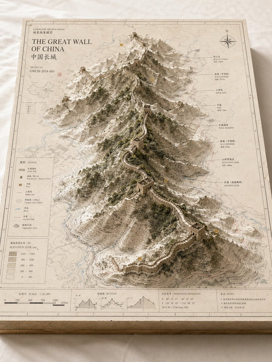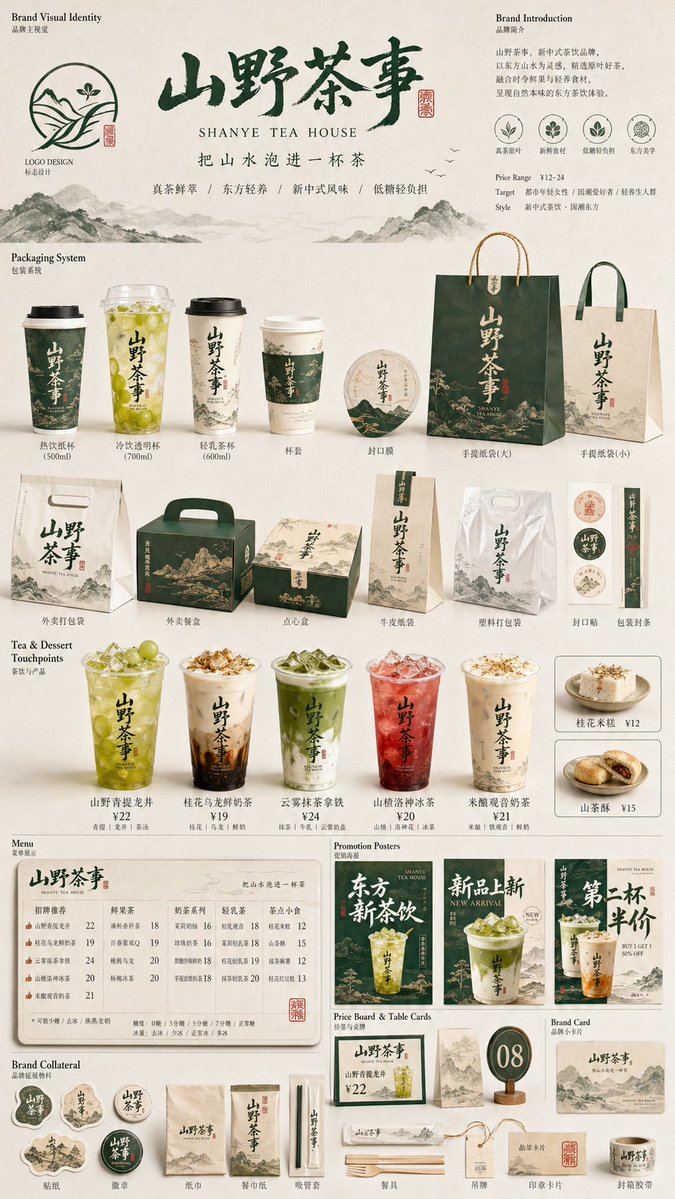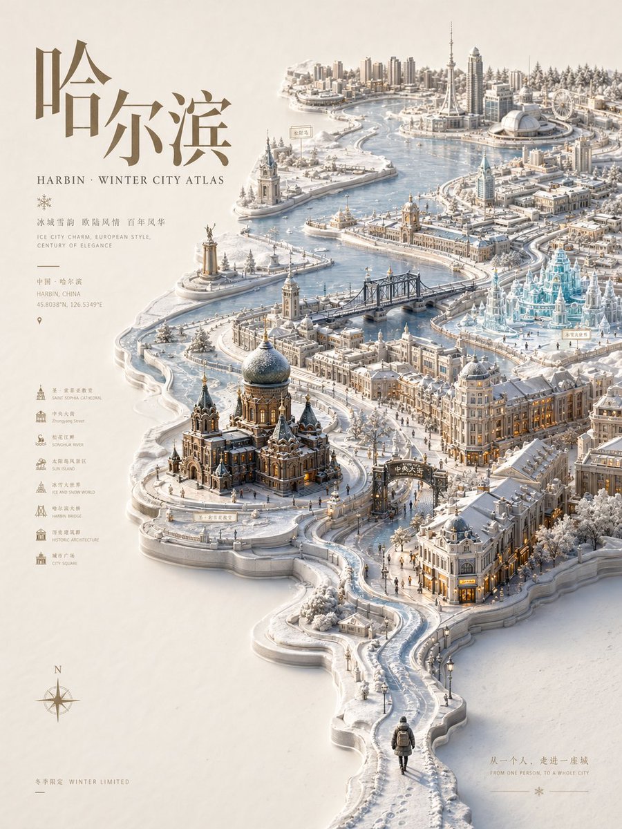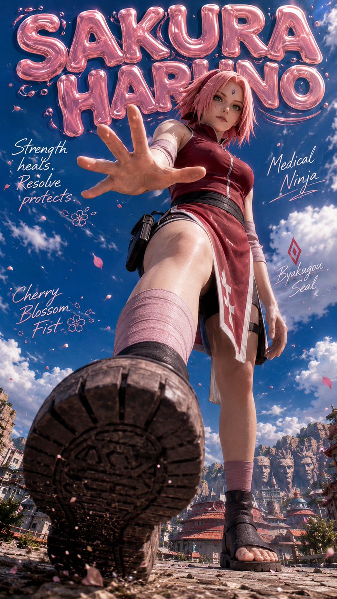


Afbeeldingsprompt Posters & typografie Aanpasbaar
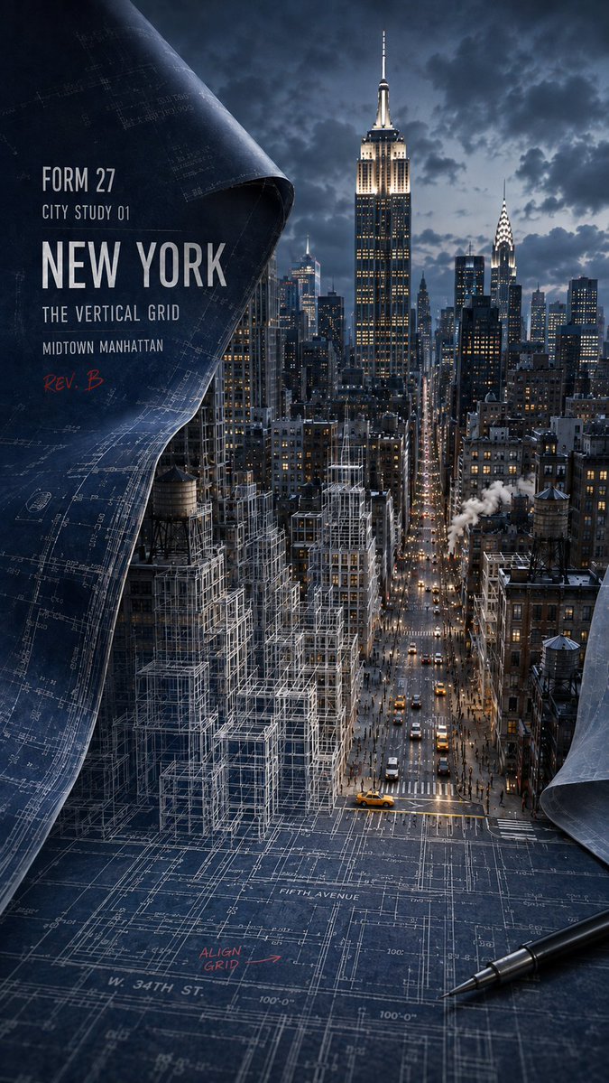
Stadsplattegrond naar realistisch stadsgezicht poster
Een verticale architectuurposter waarop een marineblauwe papieren plattegrond met technische lijnen opstijgt van een platte 2D-tekening naar witte draadmodellen en uiteindelijk naar een realistische stad in de verte. De overgang van tekening naar echte straten is het hele punt.

- Model
- GPT Image 2
- Type
- 4 afbeeldingen
- Beeldverhouding
- 9:16
- Gedeeld
- 3 aug 2026
- Likes op X
- 41
HoofdoriëntatiepuntSecundair oriëntatiepuntAccentkleurCijferLetter
Afbeeldingsprompt
1,442 tekensCreate a 9:16 architectural city-study poster for [CITY], showing the transformation from urban blueprint to real city. Keep a naturally curled section of dark-blue design paper on the left side, with visible paper texture, folds, and technical drawing lines. The foreground should remain a flat 2D city plan. In the middle, roads, buildings, trees, railways, or shorelines rise into white wireframe structures. In the background, they gradually become a fully realistic cityscape. Build the composition around the city’s real urban structure: [GRID STREETS / LAYERED RAILWAYS / RIVERFRONT SHORES / RADIAL BOULEVARDS]. Use [PRIMARY LANDMARK] as the main visual anchor, and [SECONDARY LANDMARK] smaller in the distance. Let one key element — such as a street, train, river, or boulevard — clearly cross the boundary between blueprint, wireframe, and reality. Use deep navy and graphite blue as the base, with realistic architectural materials, restrained warm lights, and a small amount of [ACCENT COLOR]. Add realistic city details like vehicles, pedestrians, and local urban features. Overlay clean editorial text in the composition: FORM 27 CITY STUDY [NUMBER] [CITY] [SUBTITLE] REV. [LETTER] Photorealistic miniature architectural style, strong depth, believable geography, and a clear 2D-to-3D transition. Avoid rigid poster boards, random landmark collage, excessive neon, cluttered tools, unreadable text, and abrupt transitions.
Zo gebruik je hem
Begin met het invullen van je eigen stadsnaam, de stedelijke structuur (rasterstraten, gelaagde spoorlijnen, rivieroevers of radiale boulevards) en de twee oriëntatiepunten, één hoofdmonument en één kleiner op de achtergrond. Behoud het opgerolde donkerblauwe papier, de platte plattegrond op de voorgrond en het geleidelijke draadmiddendeel, want die dragen de overgang van 2D naar 3D. Gedeeld als GPT Image 2-prompt en werkt goed als 9:16-print of telefoonachtergrond.
Openbaar gedeeld op X op 3 aug 2026. Alle eer voor deze prompt en het resultaat gaat naar de maker. Is dit van jou? Vraag om een aanpassing of verwijdering.