Estudio de prompts
Haz tuyo «Póster de maqueta de relieve urbano con archivo de museo»
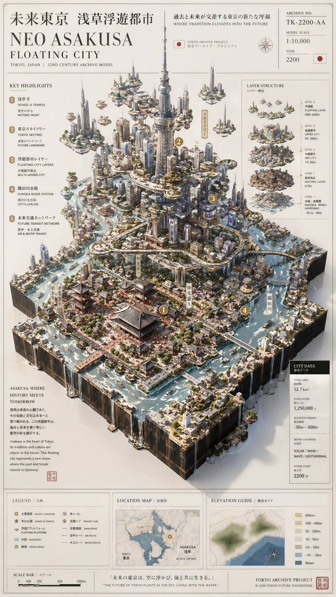
Un tablero cartográfico donde una ciudad real se alza desde su mapa plano como un modelo 3D en relieve, con capas de terreno, edificios en miniatura, líneas de agua y paneles de archivo. Parece una pieza de exposición de museo sobre papel marfil.
 Prompt de @Preda2005
- Rellena los huecos de abajo.
- Mira cómo se actualiza el prompt a la derecha.
- Cópialo o ábrelo en una herramienta de imágenes.
Prompt de imagen
Please create a high-completion, high-texture archival landscape model image based on the 【Theme】. This is not a normal map or illustration, but a premium museum-style visual combining 2D map drawing + 3D regional model + professional explanation system + collector poster aesthetic. The image must look like a real geography archive, urban planning model, architectural proposal board, or lost civilization research exhibit. Use a clean vertical 9:16 composition for social media feed. 【Theme】: [Replace with your idea — example: Neo Asakusa Floating City / Great Pyramids Hidden Archive / Machu Picchu Lost Civilization / Atlantis / Petra / Venice / Kyoto 2200] 【Theme Type】: Mixed Landscape 【Core Subject】: A giant central 3D model growing from a flat map board, showing the full environment with visible terrain, structures, water systems, roads, elevation layers, and architectural details. 【Visual Style】: Museum archive style + architectural proposal + worldbuilding collector poster + premium infographic 【Colors】: Clean bright premium colors, parchment white, ivory, warm beige, soft gray, moss green, muted gold, light blue water, red route lines, gold markers Avoid dark backgrounds and avoid black-heavy design. 【Structure】: Include contour lines, road networks, water systems, map borders, archive number, scale bar, legend area, title area, explanation modules, geographic labels, technical notes, and professional restrained typography. The center must be visually powerful and scroll-stopping. Use oblique overhead isometric view (30–45 degrees), showing both the flat map and the giant raised 3D main structure. Highly detailed, elegant, realistic shadows, premium paper texture, architectural model quality, cinematic masterpiece.
Prompt de imagen
Create a premium real-world landscape archive model of [ CITY NAME ], [ COUNTRY ], inspired by museum-grade geographic research models. Transform the location into an elegant physical map board placed on soft white fabric, combining 2D cartographic drawing, 3D terrain model, architectural miniature, and professional archive infographic design. Main subject: [MAIN LANDMARKS, mountains, rivers, beaches, landmarks, bridges, islands, roads, coastline, districts, parks, monuments, famous buildings] The model must look like a real handcrafted architectural geography model: thick rectangular baseboard, visible layered terrain edges, raised terrain, carved coastline, miniature buildings, soft blue water, moss green vegetation, ivory paper map texture, contour lines, elevation zones, roads, routes, landmarks, scale bar, compass, legend, archive number, coordinate grid, location map, section diagrams, small technical notes, and museum-style labels. Use an oblique overhead isometric camera angle, 30–45 degrees, showing the full board, the 3D city relief, the terrain, the urban structure, and the explanation panels. Clean bright premium aesthetic, warm natural light, soft shadows, off-white background, parchment paper, subtle gold markers, blue hydrological lines, red route lines, restrained typography, highly detailed, realistic, elegant, tactile, professional, collector poster quality. Do not make it futuristic. Do not make it fantasy. Keep it based on the real place, but more beautiful, precise, and museum-worthy. Vertical 9:16 composition, ultra-detailed, premium geographic archive poster, scroll-stopping masterpiece.
Prompt compartido en X por @Preda2005. Todo el mérito es de su creador.
Más prompts que puedes personalizar
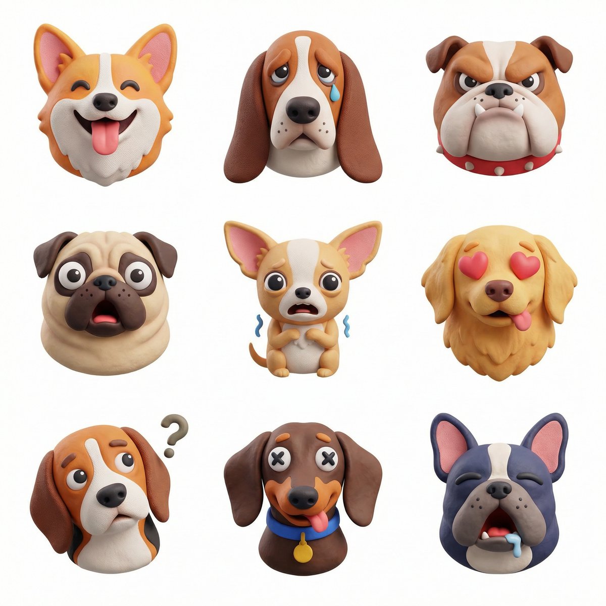 Set de iconos 3D temáticos en una cuadrícula de 3x3
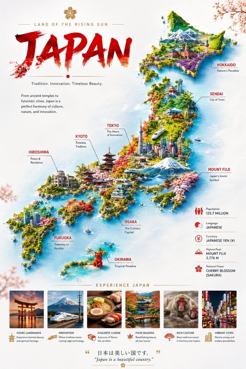 Póster en miniatura de mapa de país sobre nubes flotantes
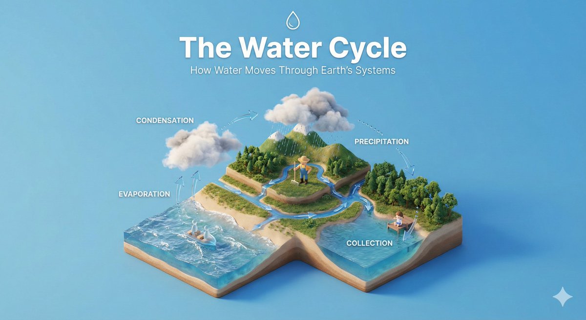 Diorama isométrico de proceso con figuras diminutas
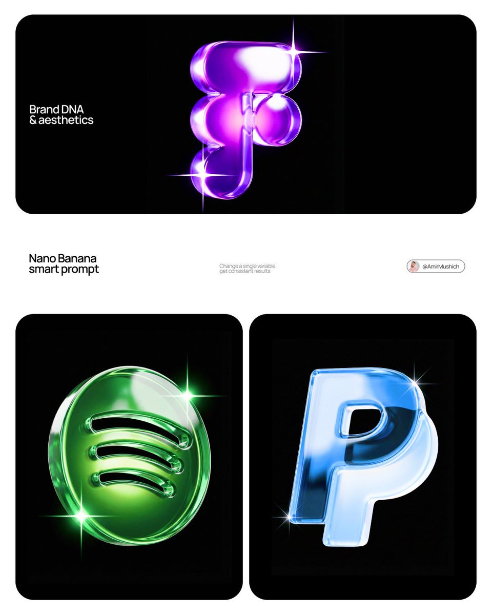 Escultura de logotipo de marca en cristal de colores
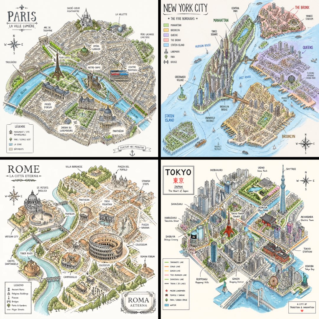 Boceto isométrico de plano de ciudad sobre blanco
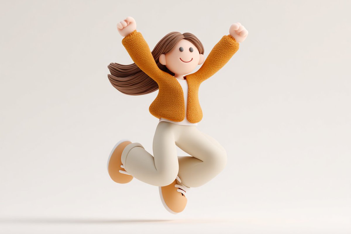 Personaje de icono 3D de arcilla adorable para branding
 Serie de prompts de infografías de ciencias naturales para cualquier tema
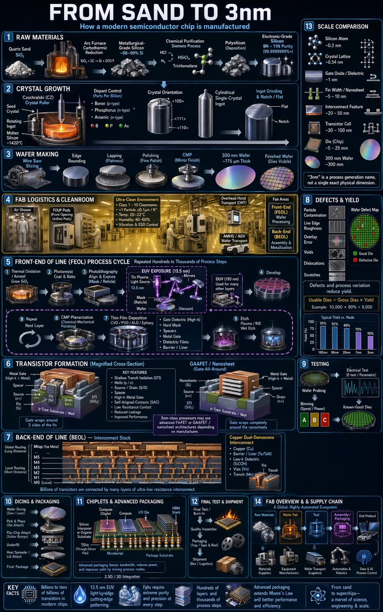 Póster infográfico del proceso de fabricación de chips