Prompt-Studio
Machen Sie „Stadtname als weiße Wolkenkratzer, Kartenkunst“ zu Ihrem
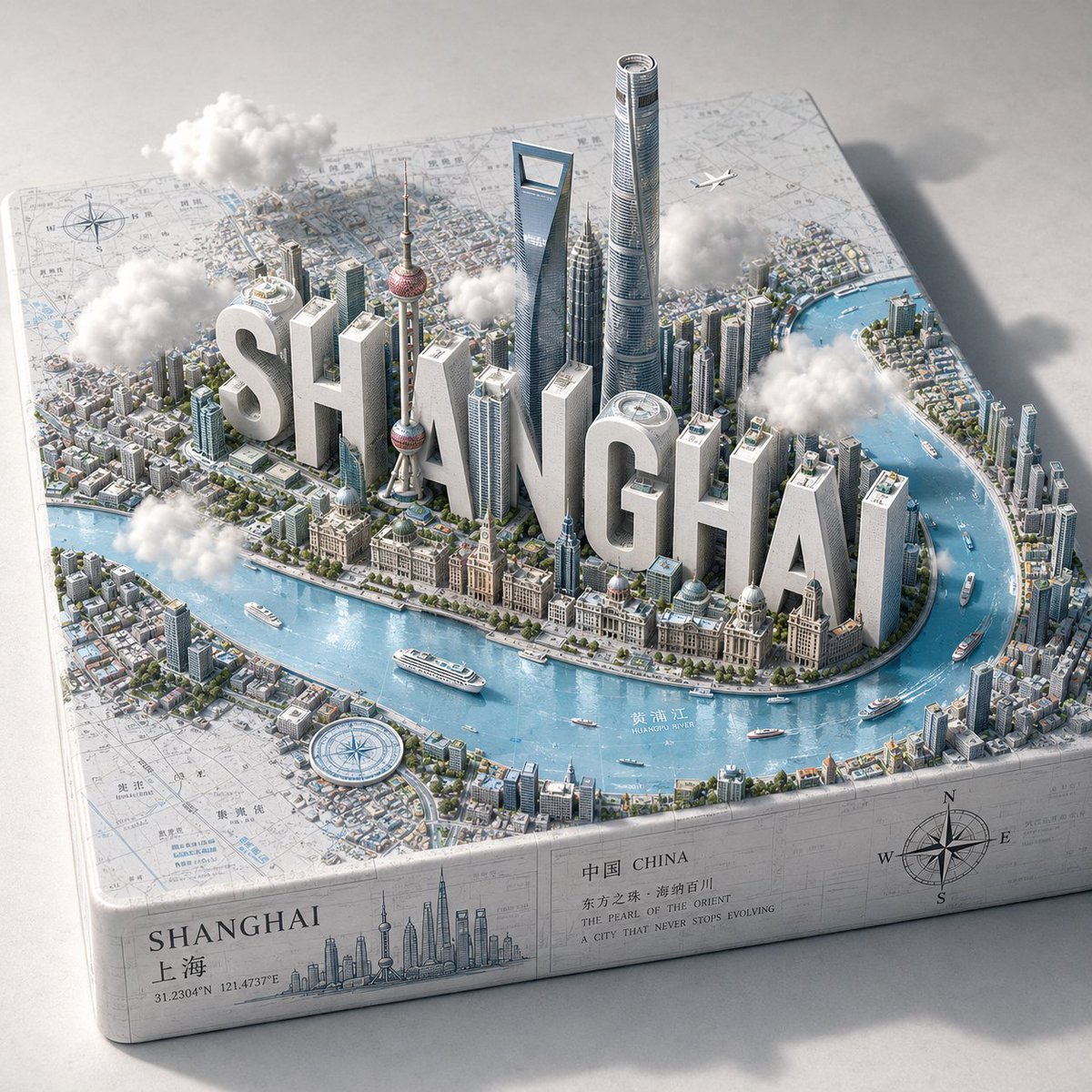
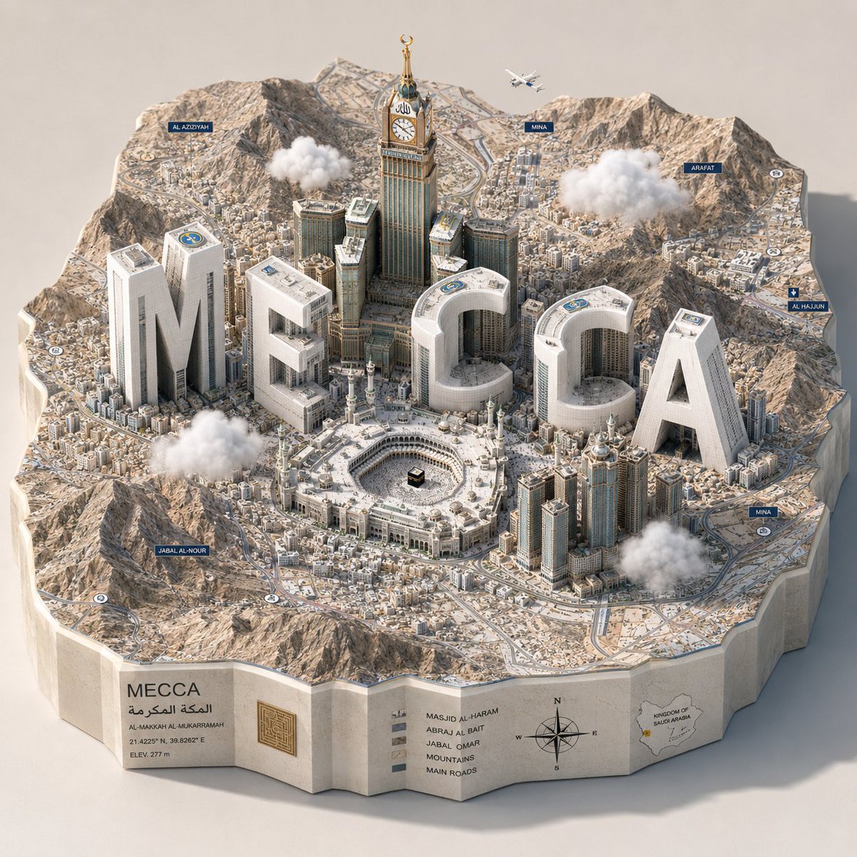
Der Name einer Stadt wird zu einer Reihe matt weißer Türme, die aus einer glänzend blauen Reliefkarte aufragen, dazwischen echte Wahrzeichen und winzige Schiffe. Es wirkt wie ein verspieltes Modell der Stadt, bei dem die Buchstaben zugleich als Gebäude dienen.
 Prompt von @Gdgtify
- Füllen Sie unten die Lücken aus.
- Rechts sehen Sie, wie sich der Prompt aktualisiert.
- Kopieren Sie ihn oder öffnen Sie ihn in einem Bild-Tool.
Bild-Prompt
1. The Semantic Inference Engine (Cartographic Typography): Input A is a Major City Name (e.g., Shanghai, London, Dubai). Analyze the location to generate 3 Integrated Assets: The Monoliths (The Abbreviation): Extract the letters of Input A. These will be the primary vertical structures. The Icons (The Skyline): Identify 3–5 of the city's most recognizable skyscrapers, towers, or monuments. The Substrate (The Map): Identify the specific geography (e.g., a curving river, a coastal harbor, or a peninsula). 2. Container (The Relief Map): Goal: A "Living Geographic Branding" 3D Diorama. The Base: A massive, thick topographic relief map resting on a neutral surface. The Surface: The map displays realistic textures: light blue reflective Epoxy Resin for the water and a textured, illustrated paper-map or satellite-image finish for the land. The Border: The land area is populated by tiny, low-rise urban sprawl (greebling) that surrounds the central structures. 3. The Central Composition (The Hybrid Skyline): The Typography: The letters identified in Step 1 are extruded into massive, Matte White Geometric Monoliths. They function as the "Super-Tall" skyscrapers of the city. The Integration: The real landmarks (Step 1) are placed realistically among the giant white letters, following the actual urban layout of the city relative to the water. The Merge: The foundations of the buildings and letters must look like they are physically part of the map's terrain. 4. The Narrative Detail (The Scale): Micro-Life: Densely populate the scene with scale-accuracy items: Tiny white cruise ships and speedboats in the water. A single, microscopic commercial airplane flying at low altitude over the city. Compass roses or navigation markers scattered on the map surface. The Atmosphere: 4–6 small, 3D Fluffy White Cotton-like Clouds float at mid-height, some partially obscuring the taller buildings. 5. Lighting & Atmosphere: Lighting: High-Key Studio Daylight. Bright, even illumination with soft shadows casting toward the top-right to emphasize height. Perspective: Isometric 3/4 High-Angle. Capturing the depth of the coastline and the verticality of the letters. Palette: Predominantly White, Light Blue, and Neutral Greys, with small pops of color from the real landmarks. Output: ONE image, 1:1 Aspect Ratio, 3D Architectural Render, "SimCity" aesthetic, 8k resolution.
Prompt, geteilt auf X von @Gdgtify. Alle Rechte liegen beim Creator.
Weitere Prompts zum Anpassen
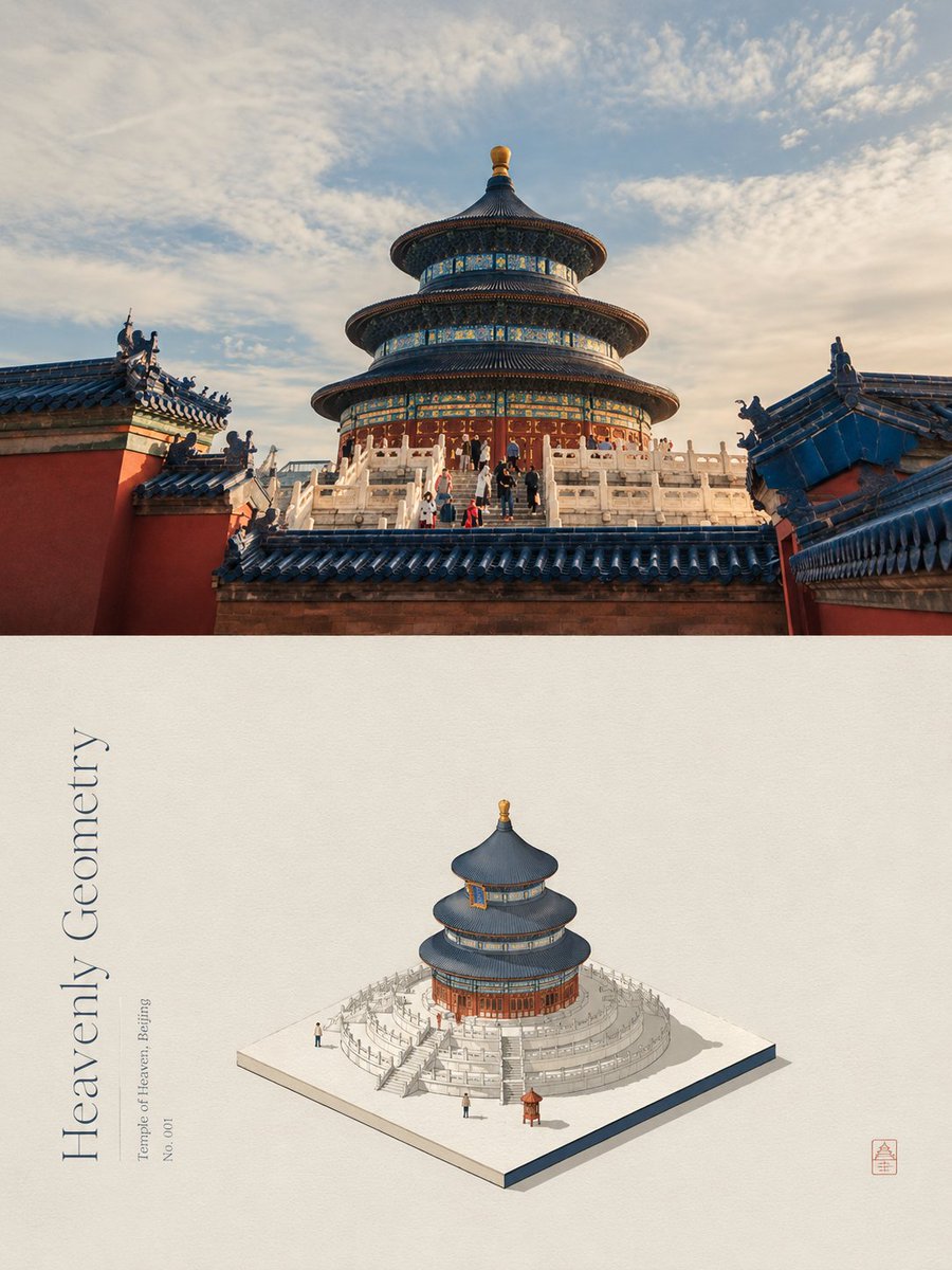 Dein Foto hinzufügenGeteiltes Poster mit Foto und isometrischer Papier-Miniatur
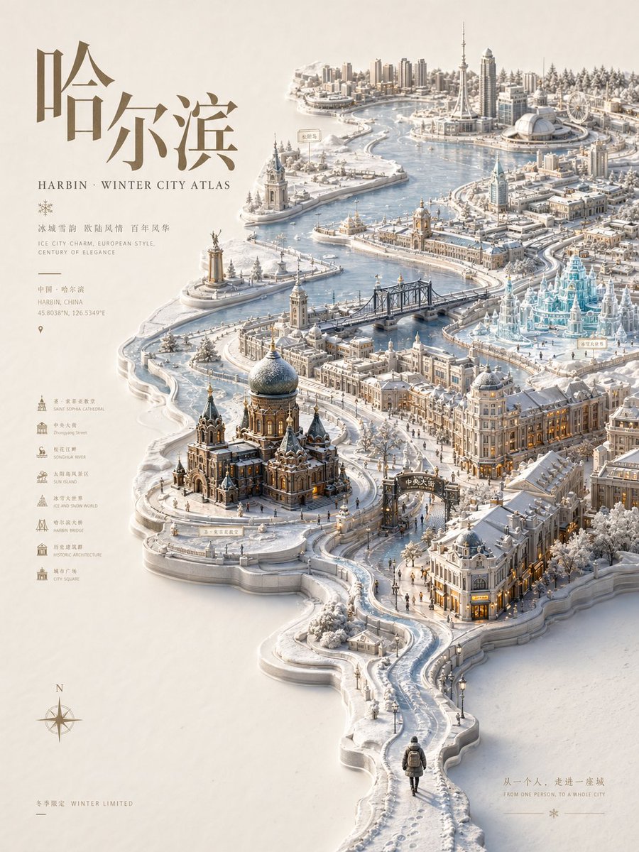 Relief-Stadtatlas-Poster mit saisonaler Miniaturkarte
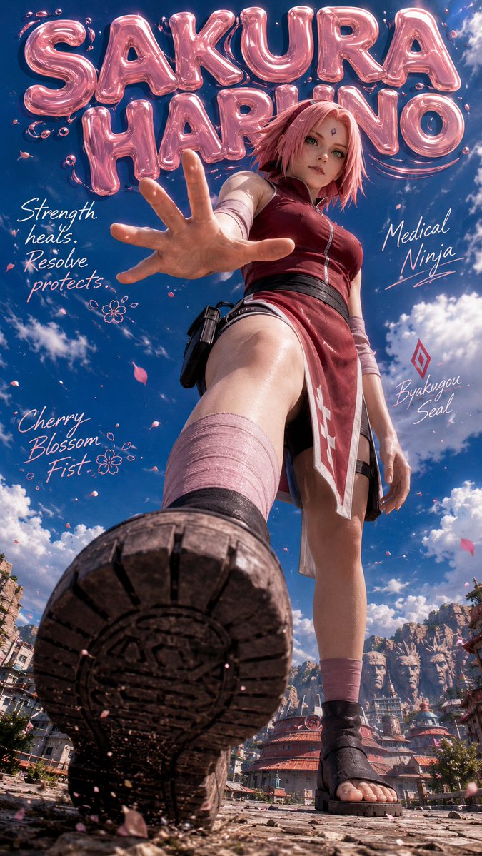 Riesiges Naruto-Charakter-Poster mit Gelee-Schrift
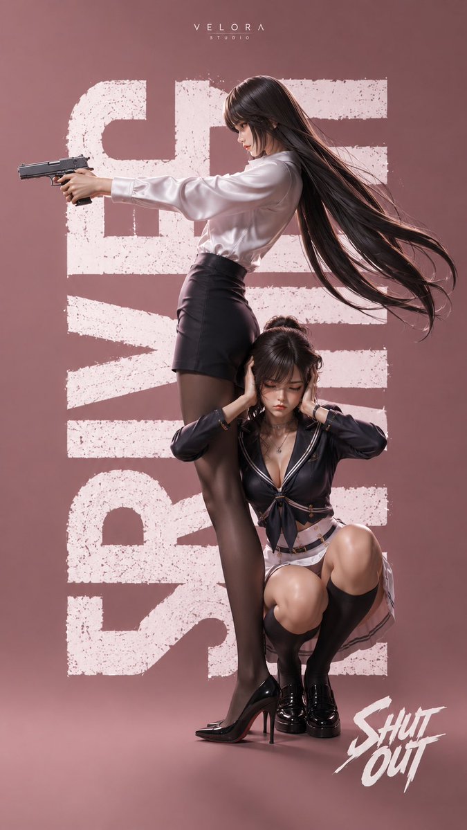 Modisches Actionposter mit zwei Frauen in Pink
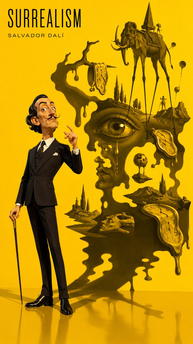 3D-Schattenposter im Pixar-Stil mit symbolischer Projektion
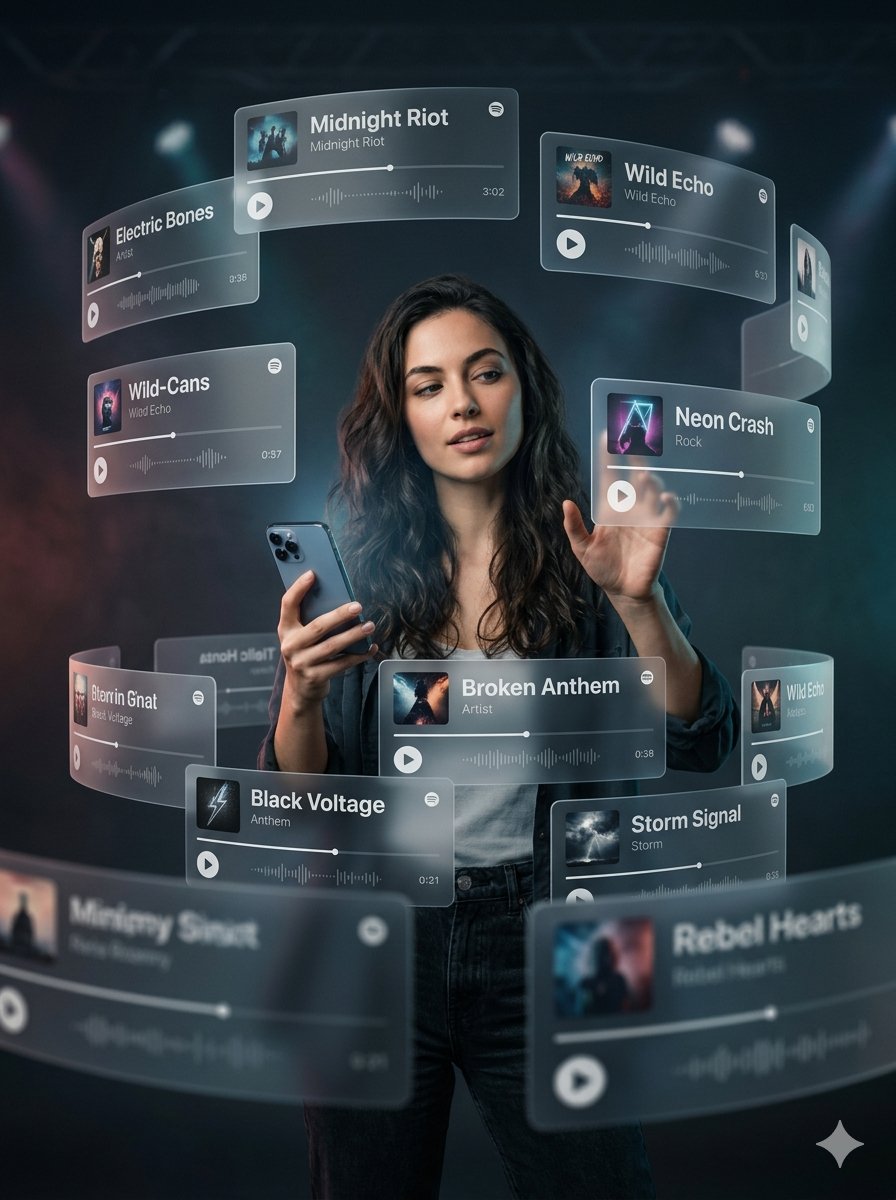 Schwebende Musik-App-Karten Frauen-Poster
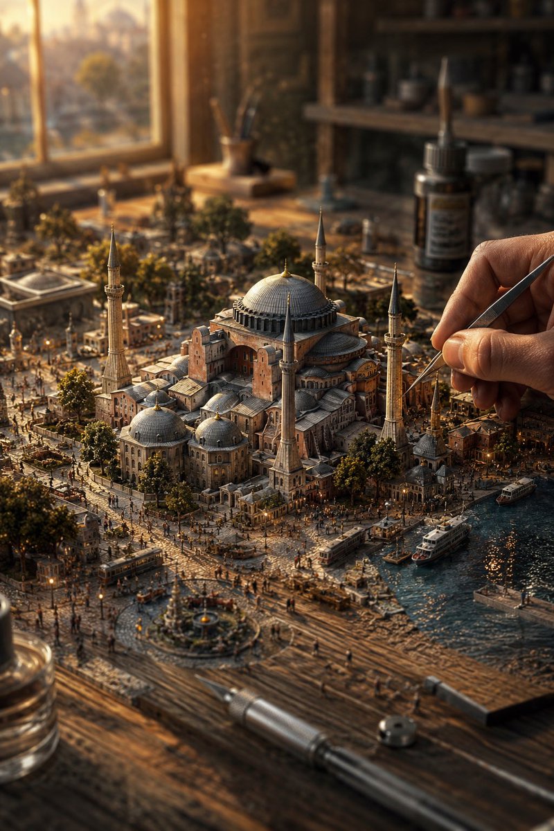 Miniatur-Stadtdiorama auf dem Tisch im warmen Licht
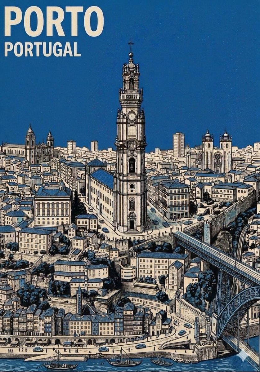 Isometrisches Reisepostер der Mitte des 20. Jahrhunderts