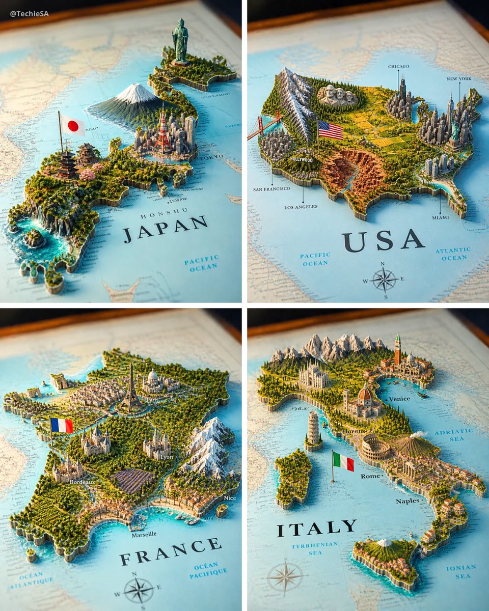
Prompt stüdyosu
“Kâğıttan yükselen bir yer simgeleriyle 3D ülke haritası maketi” promptunu kendinize göre uyarlayın
Basılı bir kâğıt harita ülkenin mini bir 3D dünyasına dönüşüyor: yer simgeleri, silüet ve arazi, her biri kendi gerçek bölgesinde yükseliyor. Sonuç, canlanmış müze kalitesinde bir harita gibi görünüyor.
 @TechieBySA'in promptu
- Aşağıdaki boşlukları doldurun.
- Promptun sağ tarafta nasıl güncellendiğini izleyin.
- Kopyalayın ya da bir görsel aracında açın.
Görsel promptu
A realistic map of the [COUNTRY] territory lying on a surface, with the country name [COUNTRY] clearly visible in bold elegant serif lettering on it. From the map emerges a highly detailed 3D miniature diorama representing [COUNTRY], with geographically coherent elements: the most famous natural landscape of [COUNTRY] placed in its correct region, the most iconic national monument or statue rising in its real-world location, the largest and most recognizable modern city skyline accurately positioned, a culturally traditional architectural region represented authentically, and a major dramatic geographic feature such as mountains, rainforest, desert, coastline, canyon, waterfall, or reef — all placed in their geographically accurate locations within [COUNTRY]. A small [COUNTRY] national flag on a thin flagpole planted naturally beside the capital city. The flat map surface around the 3D elements includes faintly printed city names, region labels, dotted travel routes, a compass rose in one corner, and subtle topographic contour lines — realistic cartographic details without overcrowding. Each feature grows organically from the paper map, creating a harmonious blend of nature, culture, and architecture. Soft studio lighting, cinematic composition. Square 4:5 format.
Prompt, X'te @TechieBySA tarafından paylaşıldı. Tüm hakkı içerik üreticisine aittir.
Özelleştirebileceğiniz diğer promptlar
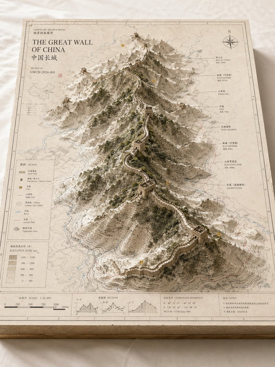 Arşiv kabartma model harita manzarası
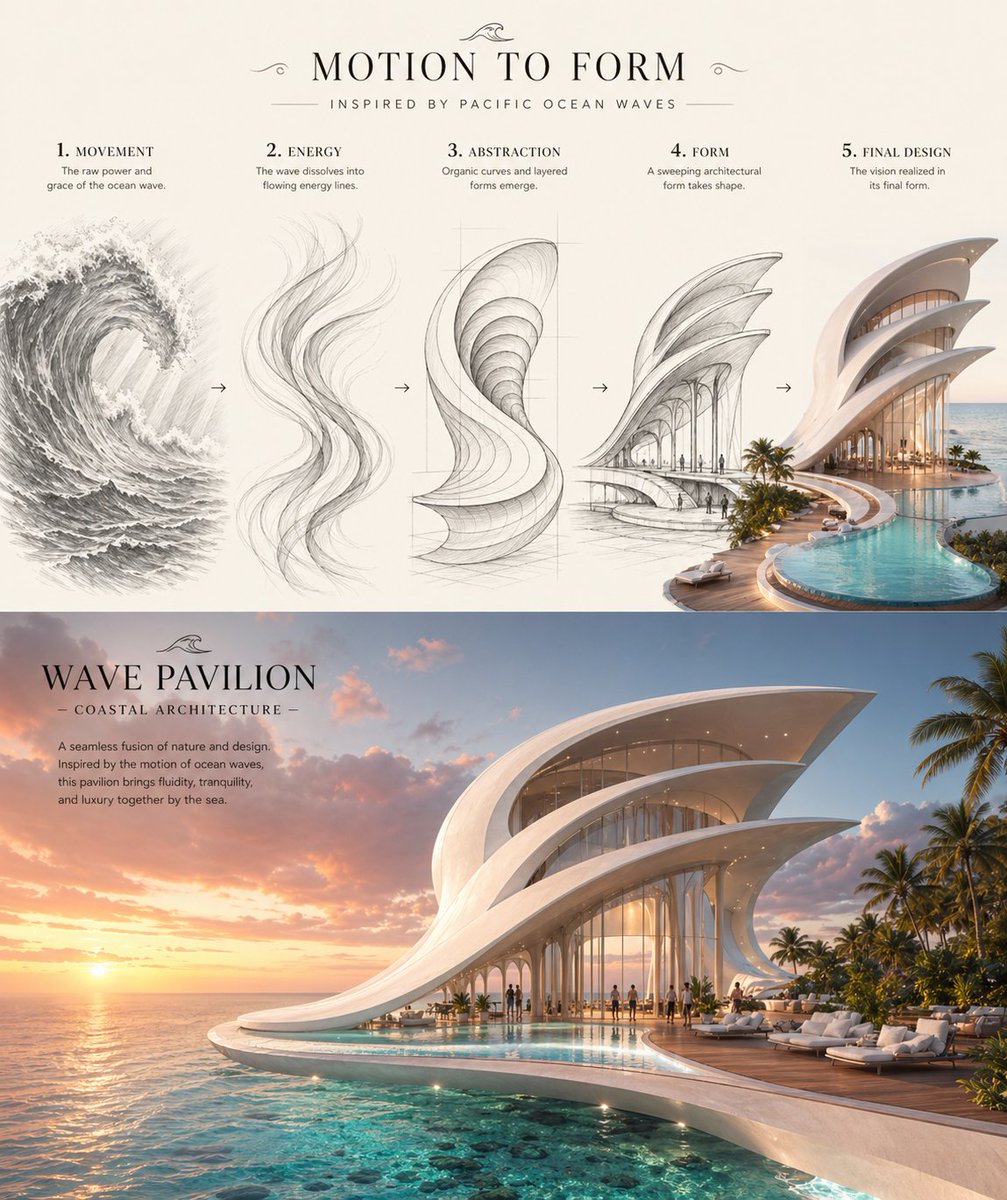 Dalgadan kıyı köşküne konsept tasarım sayfası
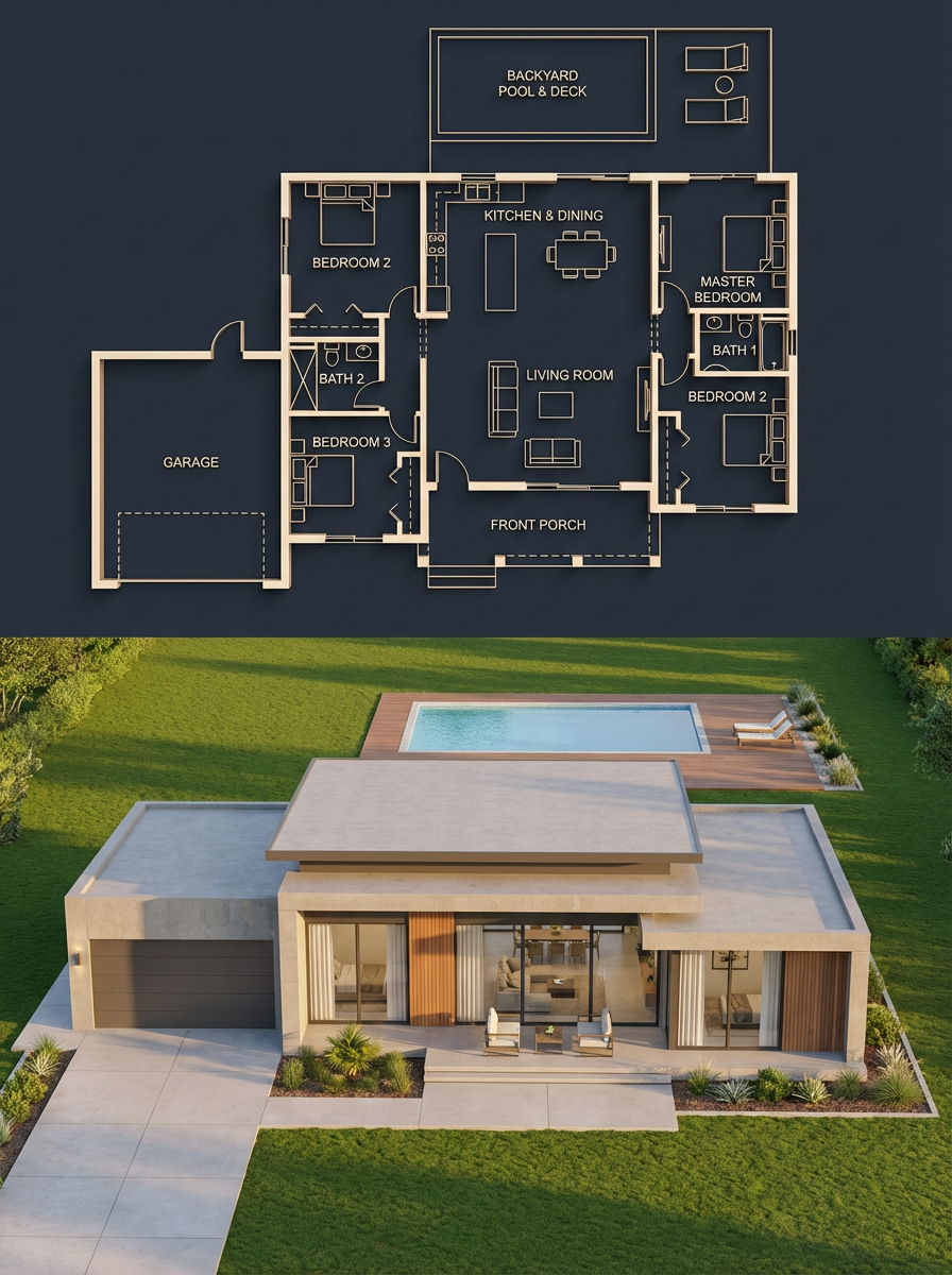 Ayrık ev planı ve fotogerçekçi render
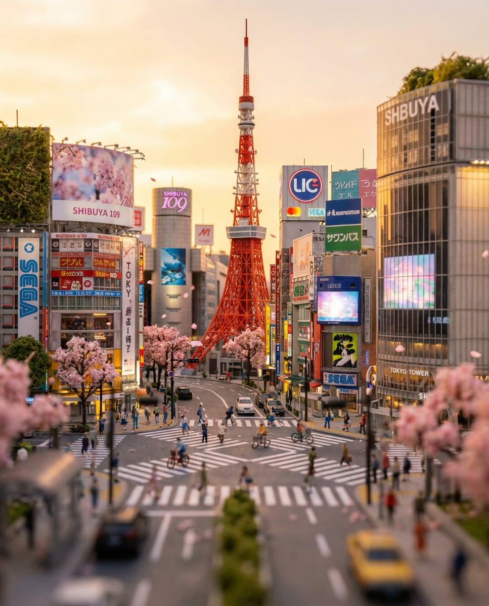 Tilt-shift ile Tokyo yaya geçidi minyatür sahnesi
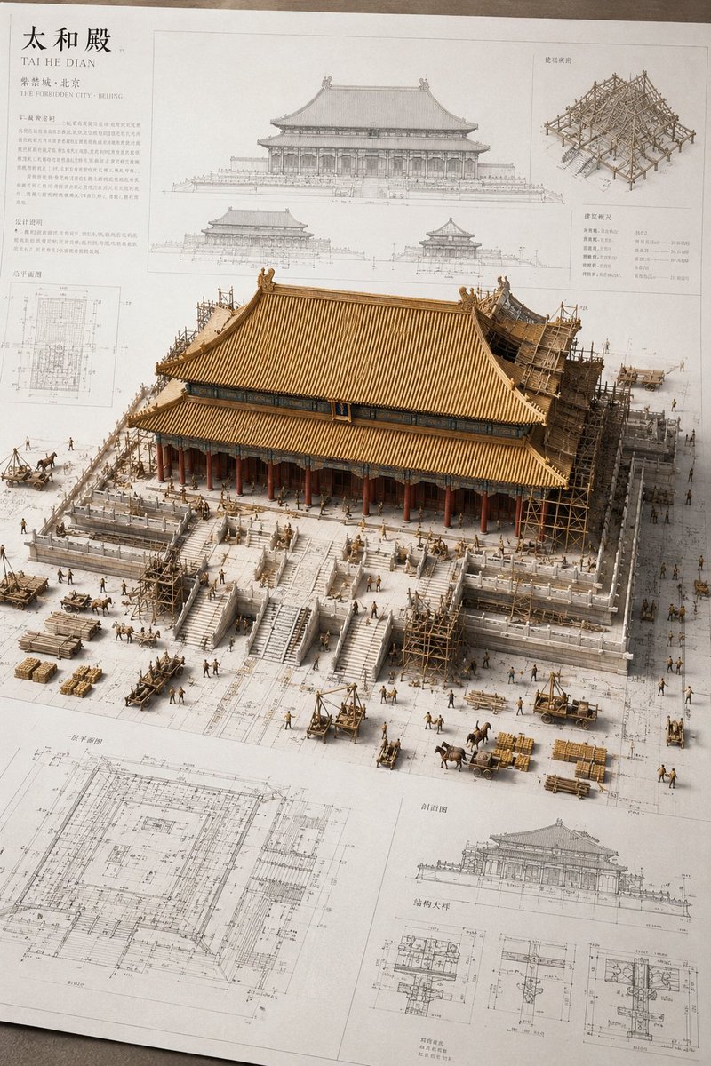 Minyatür antik Çin yapısı mimari çizim maketi
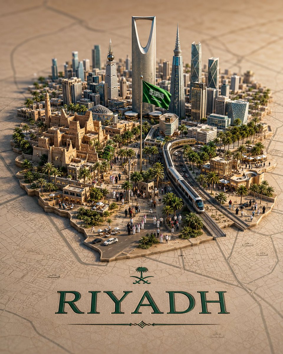 3D diyorama şehir haritası ve minyatür silüet
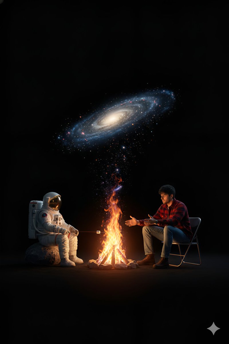 Galaksi boşluğunda astronot ve arkadaşının kamp ateşi
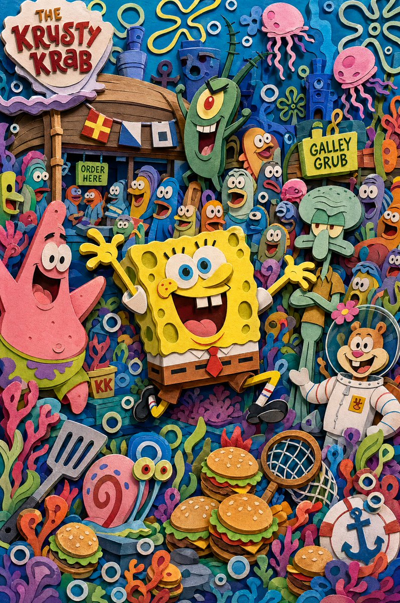 Sekiz katmanlı katmanlı kâğıt çizgi film dünyası diyorama