Στούντιο prompt
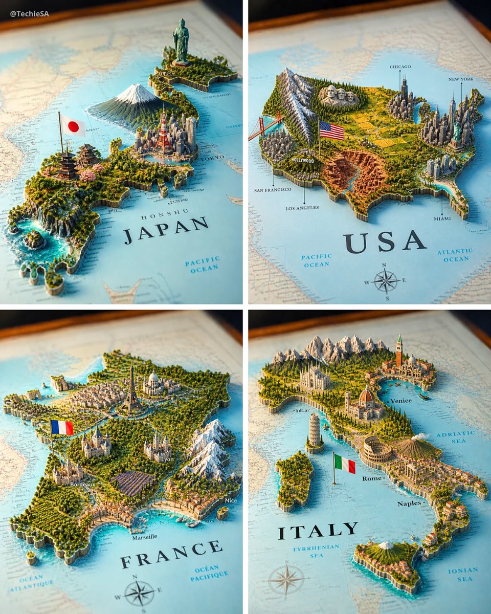
Κάντε το «Τρισδιάστατο διόραμα χάρτη χώρας με ορόσημα που αναδύονται από το χαρτί» δικό σας
Ένας τυπωμένος χάρτης μιας χώρας σε χαρτί φυτρώνει έναν μικροσκοπικό τρισδιάστατο κόσμο με ορόσημα, ορίζοντα και ανάγλυφο, με κάθε στοιχείο να στέκεται στην πραγματική του περιοχή. Το αποτέλεσμα μοιάζει με χάρτη αξίας μουσείου που έχει ζωντανέψει.
 Prompt από @TechieBySA
- Συμπληρώστε τα πεδία παρακάτω.
- Δείτε το prompt να ενημερώνεται στα δεξιά.
- Αντιγράψτε το ή ανοίξτε το σε ένα εργαλείο εικόνας.
Prompt εικόνας
A realistic map of the [COUNTRY] territory lying on a surface, with the country name [COUNTRY] clearly visible in bold elegant serif lettering on it. From the map emerges a highly detailed 3D miniature diorama representing [COUNTRY], with geographically coherent elements: the most famous natural landscape of [COUNTRY] placed in its correct region, the most iconic national monument or statue rising in its real-world location, the largest and most recognizable modern city skyline accurately positioned, a culturally traditional architectural region represented authentically, and a major dramatic geographic feature such as mountains, rainforest, desert, coastline, canyon, waterfall, or reef — all placed in their geographically accurate locations within [COUNTRY]. A small [COUNTRY] national flag on a thin flagpole planted naturally beside the capital city. The flat map surface around the 3D elements includes faintly printed city names, region labels, dotted travel routes, a compass rose in one corner, and subtle topographic contour lines — realistic cartographic details without overcrowding. Each feature grows organically from the paper map, creating a harmonious blend of nature, culture, and architecture. Soft studio lighting, cinematic composition. Square 4:5 format.
Prompt που κοινοποιήθηκε στο X από @TechieBySA. Όλα τα credits ανήκουν στον δημιουργό του.
Περισσότερα prompts που μπορείτε να προσαρμόσετε
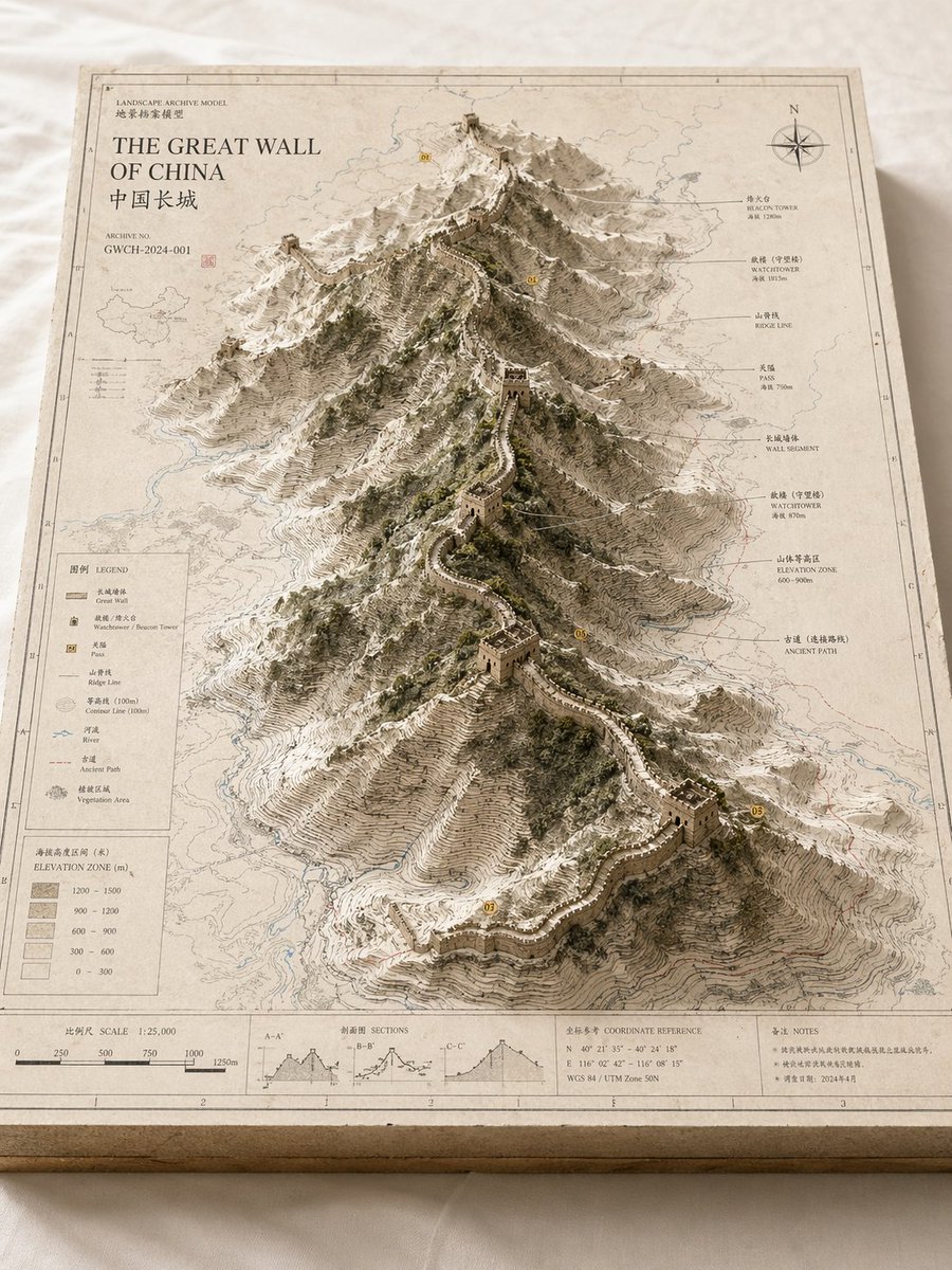 Αρχειακό ανάγλυφο μοντέλο χάρτη τοπίου
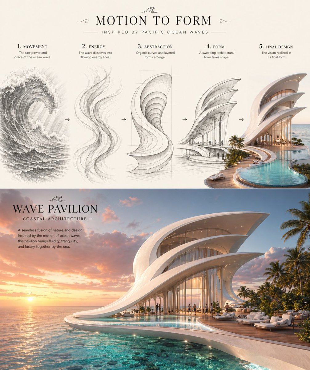 Από το κύμα στο παραθαλάσσιο περίπτερο: φύλλο concept
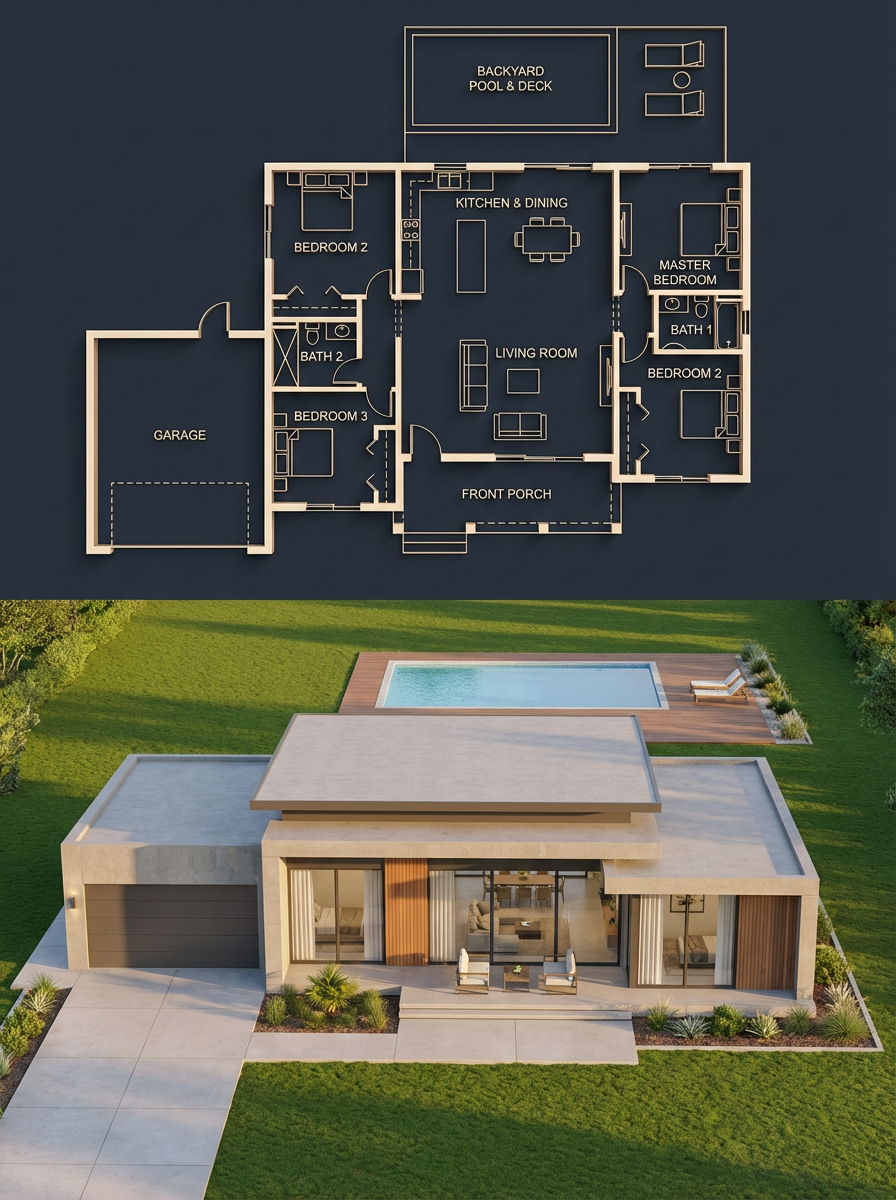 Κάτοψη σπιτιού και φωτορεαλιστική απεικόνιση
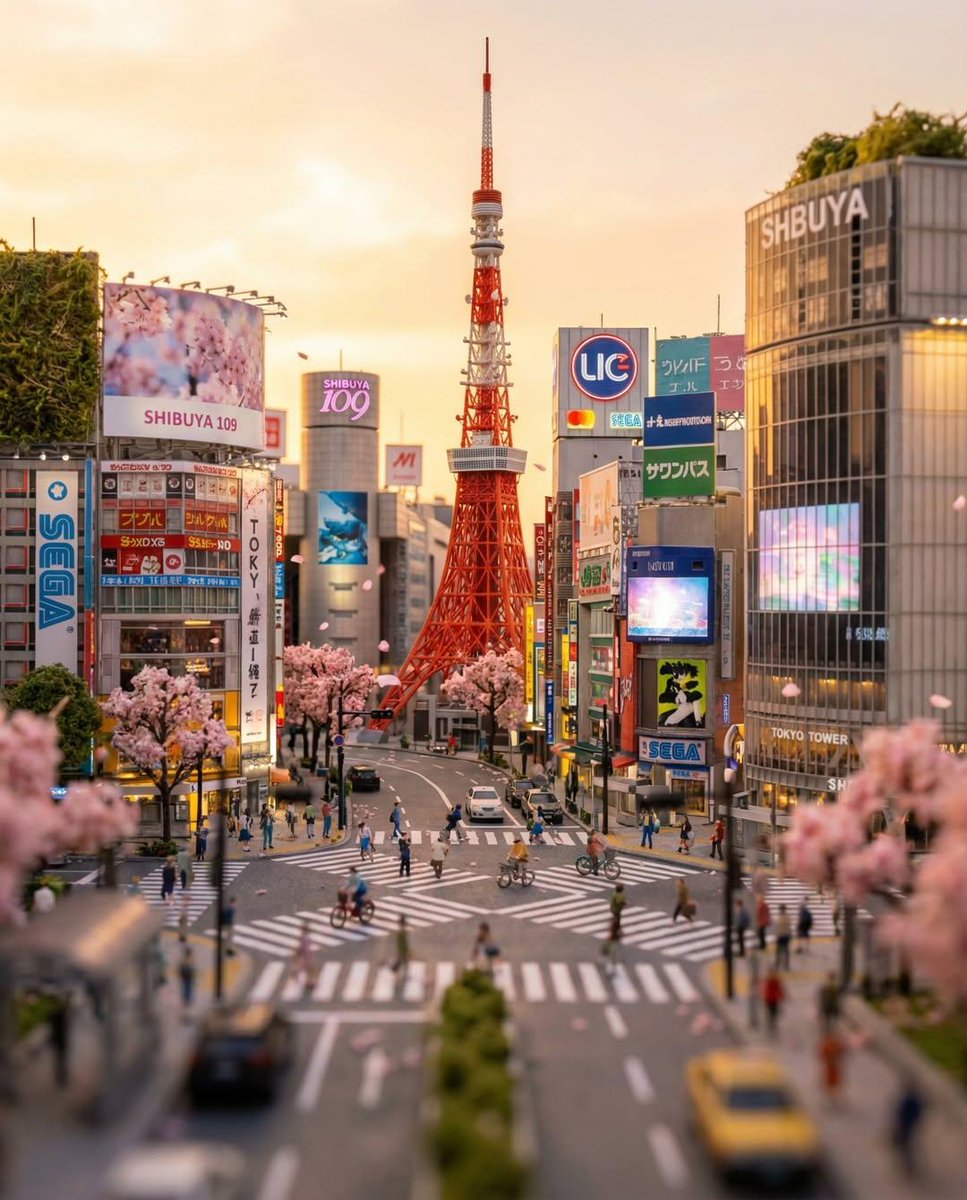 Μινιατούρα διάβασης στο Τόκιο με εφέ tilt-shift
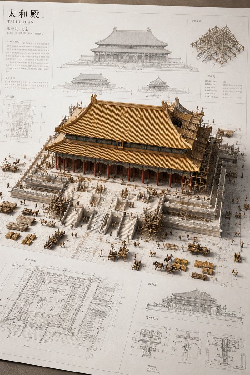 Μινιατούρα αρχαίου κινεζικού κτιρίου σε αρχιτεκτονικό σχέδιο
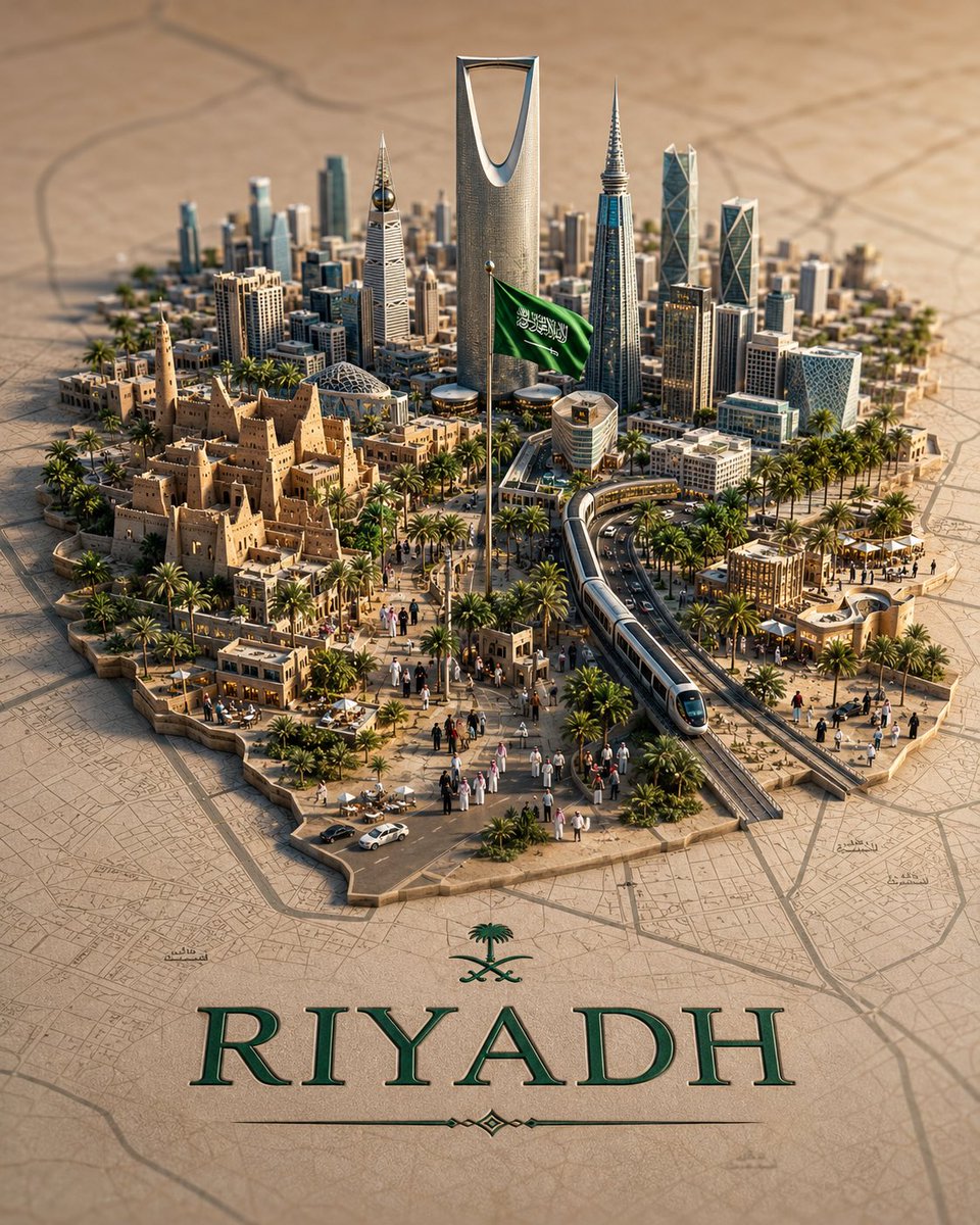 Τρισδιάστατος χάρτης πόλης ντιοράμα με μινιατούρα ορίζοντα
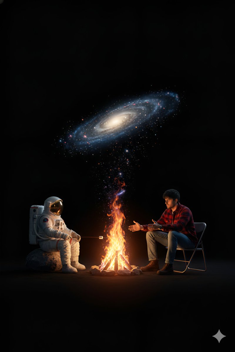 Αστροναύτης και φίλος δίπλα στη φωτιά σε κενό γαλαξία
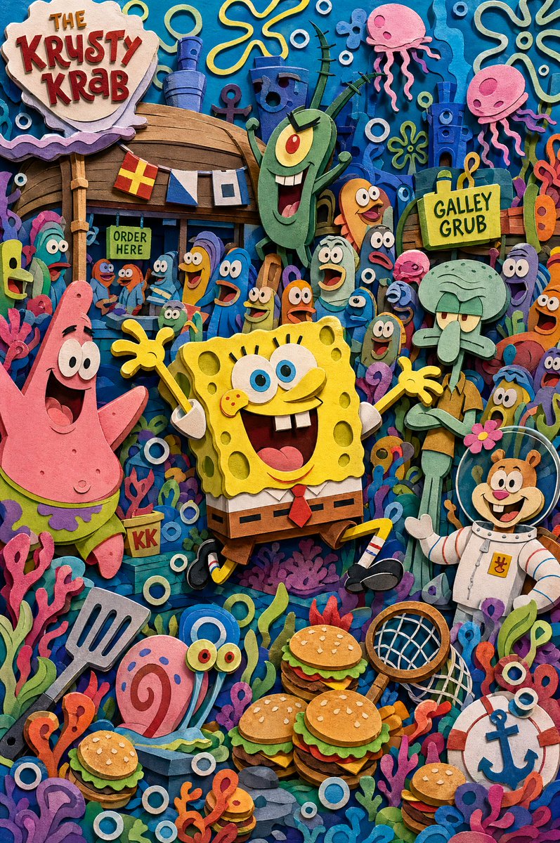 Στρωματοποιημένος διόραμα κόσμου κινουμένων σχεδίων σε χαρτί σε 8 στρώματα